
Canada USA Road Atlas
$23.99
Out of Stock
Overview
2023 Edition with 1000s of Updates: Features the most current road information for reliable navigation and trip planning across Canada and the United States
128 Pages of Comprehensive Mapping: Includes regional maps of all Canadian provinces/territories and US states, plus detailed city maps of Montréal, Toronto, and Vancouver, along with drive-through maps of Chicago, New York City, Los Angeles, and Washington D.C.
Extensive Map Features: Shows populations, international and state/provincial boundaries, time zones, highways, toll roads, railways, ferries, distance markers, border crossings, airports, and over 30 types of points of interest including UNESCO World Heritage sites, national parks, museums, and natural landmarks
Distance Planning Tools: Contains North American distance table, distance markers throughout maps, and comprehensive community name index for efficient route planning
Large Format Saddlestitch Binding: Measures 27.62 x 38.1 cm (10.875 x 15 inches) with lay-flat saddlestitch binding for easy viewing while driving or planning
Printed in Canada: Manufactured domestically with quality printing standards
ASK A QUESTION
Report an issue with this product
You may also like
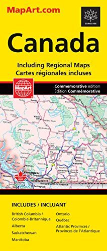
Canada Road Map
$9.99
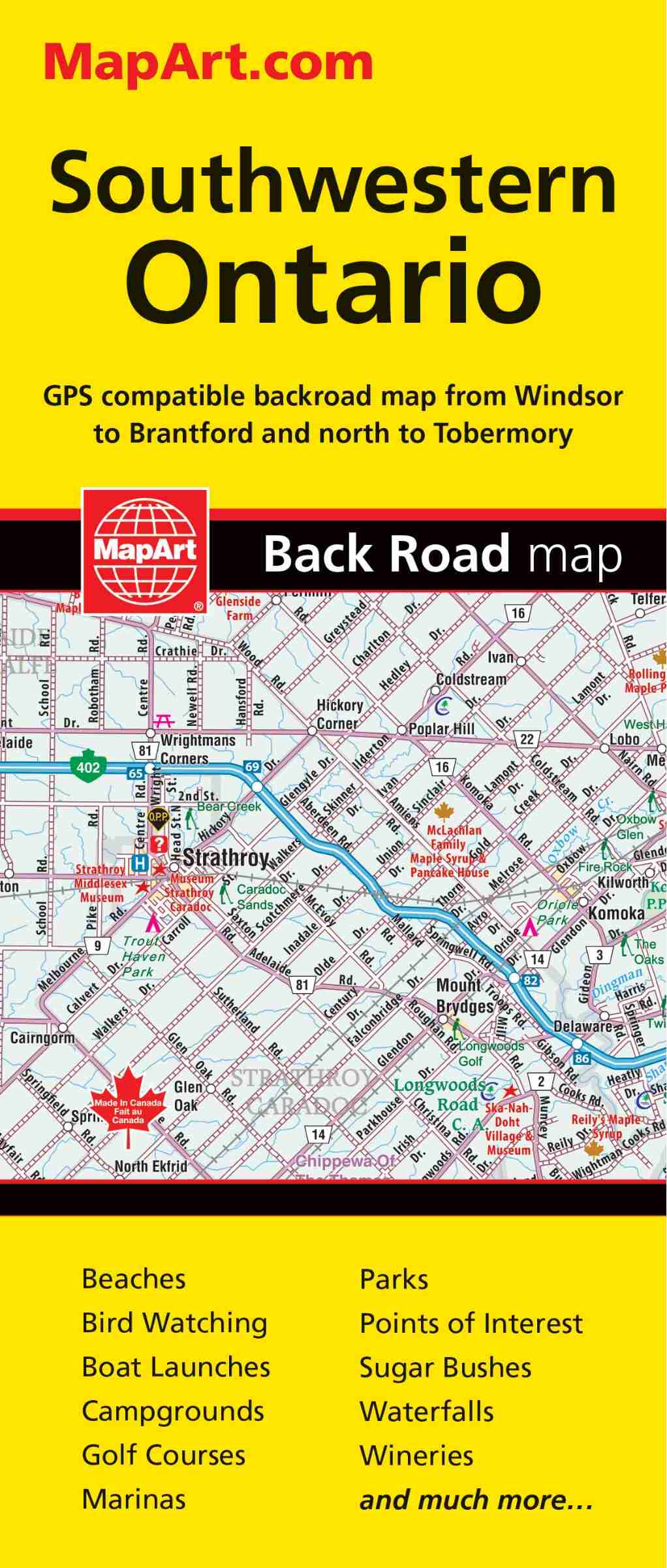
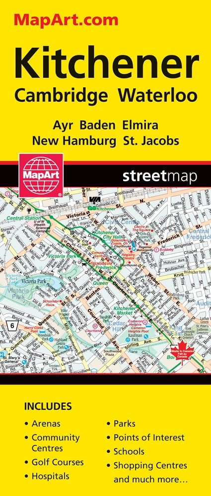
Map Southwestern Ontario
$9.99
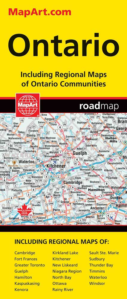
Ontario Road Map
$9.99
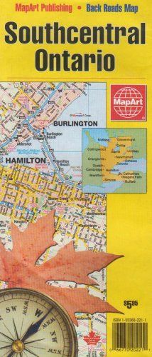
Map Southcentral Ontario
$9.99
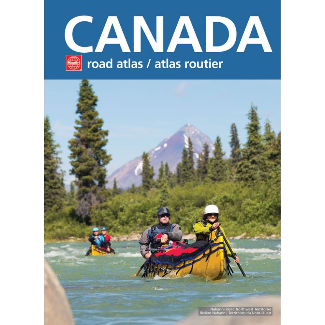
Canada Road Atlas
$17.99
Details
This best-selling 2023 edition road atlas has 1000s of updates for the most reliable on-the-road navigation and pre-trip planning.
Inside this 128 page atlas you will find regional maps of the Canadian provinces/territories and US states, city maps of Montréal (1:200,000), Toronto (1:200,000), Vancouver (1:250,000), drive-through maps of Chicago, New York City, Los Angeles, Washington D.C., map legend, North American distance table and community name index.
Map features include populations, international boundaries, state/provincial boundaries, time zones, express routes/interstate highways, Trans-Canada highway, multilane highways, highways, provincial/state highways, roads under construction, other roads, winter roads and winter trails (Alaska), toll roads, railways, ferries, distance markers, border crossings, airports, harbours/ports, hot springs/geysers, waterfalls, bird sanctuaries, nature reserves, caves, summits, altitudes, points of interest, museums worth seeing, UNESCO World Heritage sites, archeological places, speedways, amusement parks, monasteries worth seeing, churches worth seeing, forts worth seeing, lighthouses, battlefields, oil production sites, dams/locks, winter sports, aqua parks, marinas and natural landmarks.
Printed in Canada!
Saddlestitch bound
Dimensions: 27.62 x 38.1 cm (10.875 x 15 inches)
Geographical Area: Canada, United States
Product Information
Additional Details
| Audience |
Teachers |
|---|
Customer Reviews
Add a review
You must be logged in to post a review
Log In
| 5 star | 0% | |
| 4 star | 0% | |
| 3 star | 0% | |
| 2 star | 0% | |
| 1 star | 0% |
0 of 0 reviews
Sorry, no reviews match your current selections
$23.99