
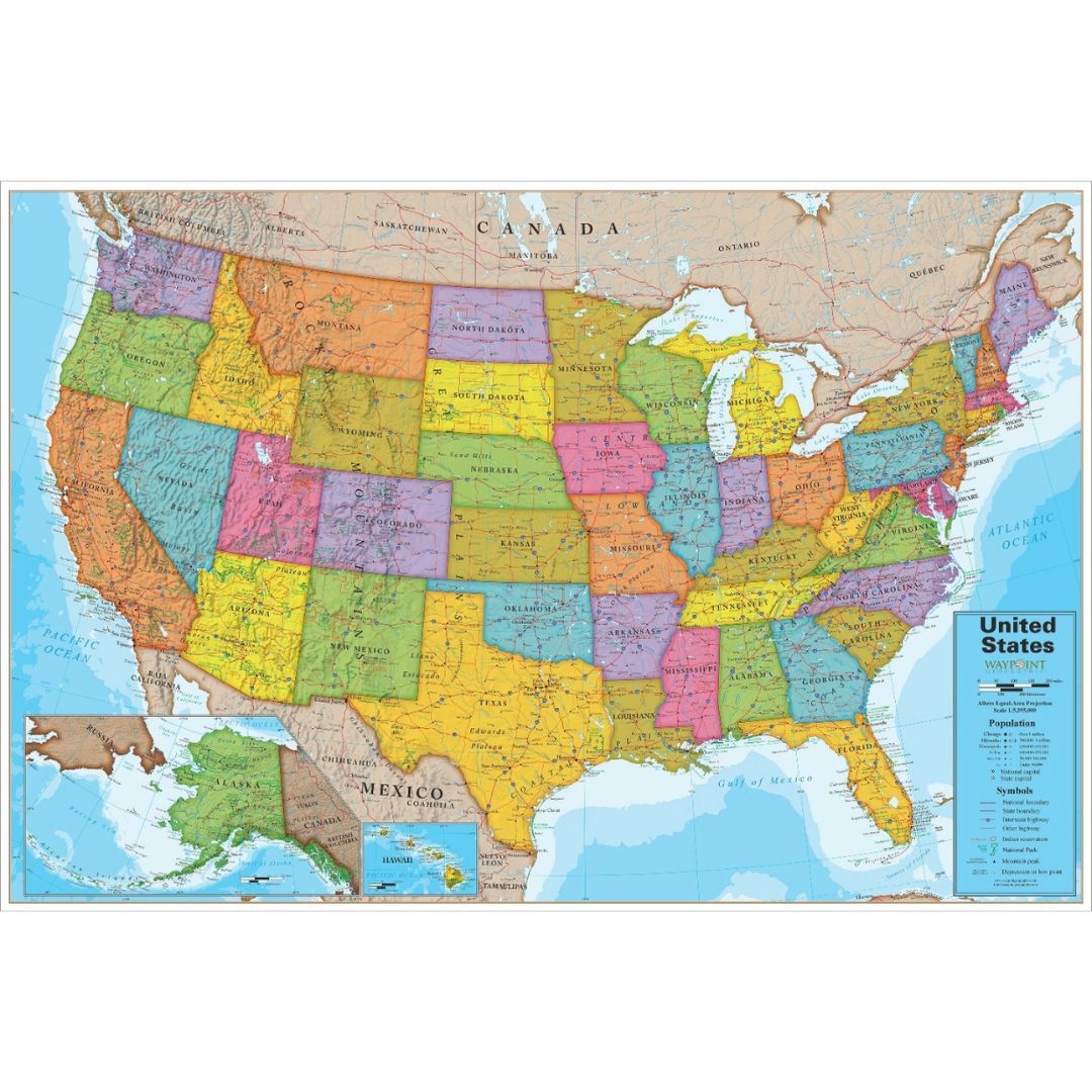
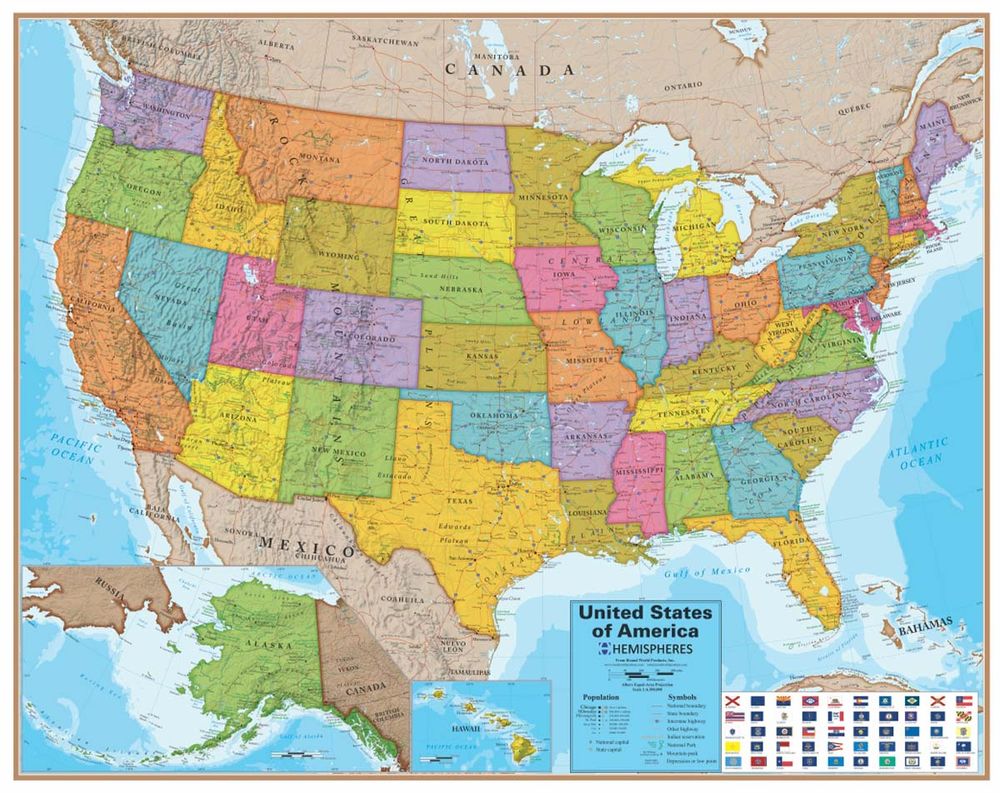
USA Political Map Interactive
$28.99
Only 4 left
In stock
Overview
• Large Laminated Wall Map: Measures 48 x 38 inches with a durable laminated finish that protects against wear and allows for dry-erase marker use
• Interactive App Integration: Downloadable companion app from Google Play transforms the physical map into an interactive learning tool using smartphones or tablets to access state facts, statistics, and capitals
• Comprehensive Geographic Details: Displays all US states, neighboring countries, bodies of water, coordinates, and land formations identified by grey shading for easy terrain recognition
• Educational Resource: Suitable for home, classroom, or childcare centre use across elementary, middle, and high school grade levels
• Easy Navigation: Includes a detailed map key that helps users quickly identify and understand map symbols and features
ASK A QUESTION
Report an issue with this productFind it in our store:
You may also like


Details
The Round World Interactive US Map displays states, neighboring countries, bodies of water coordinates, and more! This interactive wall map includes a downloadable app from Google Play. With the help of smart devices, students will have a blast learning fun facts, statistics, capitals and more! 48 x 38 inches. Laminated.
Features
Land formations identified by grey shading
Included map key makes map easy to navigate
An excellent resource for your home, classroom or childcare centre
Great for elementary, middle and high school aged students
Includes:
1 Puzzle
Product Information
Additional Details
Customer Reviews
Add a review
You must be logged in to post a review
Log In
0%
0%
0%
0%
0%
0 of 0 reviews
Sorry, no reviews match your current selections
$28.99