
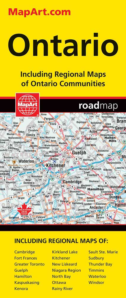
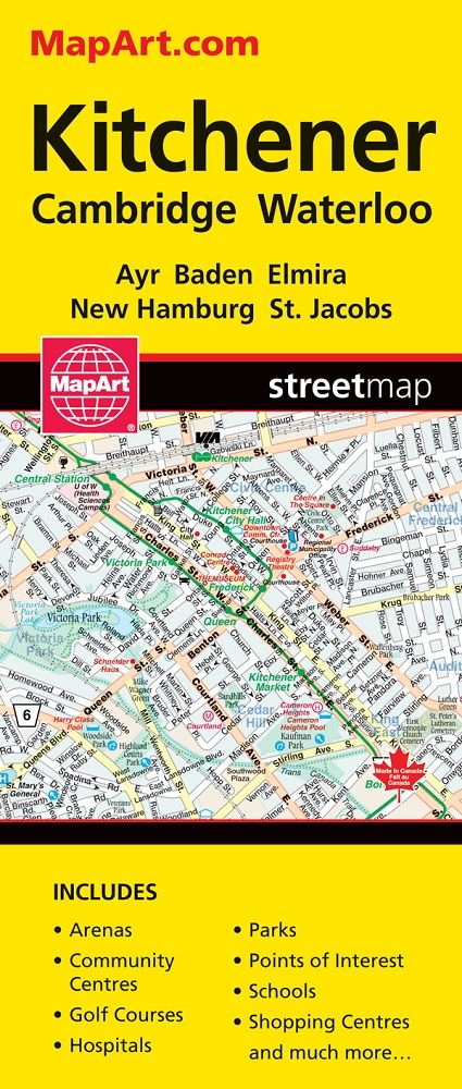
Map Southcentral Ontario
$9.99
Only 2 left
Only 2 left in stock
Overview
• Comprehensive Regional Coverage: Detailed back road mapping spans South Central Ontario including Niagara Falls NY, Simcoe, Durham Region, Greater Toronto Area, Collingwood, and the Kawarthas
• 13 City Centre Maps Included: Detailed insets for Barrie, Brantford, Burlington, Cambridge, Fort Erie, Guelph, Hamilton, Kitchener/Waterloo, Niagara Falls, Orillia, Oshawa, St. Catherines, and Toronto
• Recreational Points of Interest: Marked locations for campgrounds, conservation areas, bird sanctuaries, hiking trails, skiing areas, wineries, boat launches, beaches, and named lakes for trip planning and outdoor activities
• Back Road Navigation: Shows secondary roads and less-travelled routes throughout the region for exploring beyond major highways
ASK A QUESTION
Report an issue with this productFind it in our store:
You may also like
Details
Detailed Back Road Map of South Central Ontario includes detail for Niagara Falls NY, Simcoe, Durham Region, GTA, Collingwood, the Kawarthas and more. City Centre Maps Include: Barrie, Brantford, Burlington, Cambridge, Fort Erie, Guelph, Hamilton, Kitchener/Waterloo, Niagara Falls, Orillia, Oshawa, St. Catherines, Toronto. Features include Campgrounds, conservation areas, bird sanctuary, hiking, skiing, wineries, boat launches, beaches, lake names and much, much more!
Product Information
Additional Details
Customer Reviews
Add a review
You must be logged in to post a review
Log In
| 5 star | 0% | |
| 4 star | 0% | |
| 3 star | 0% | |
| 2 star | 0% | |
| 1 star | 0% |
0 of 0 reviews
Sorry, no reviews match your current selections
$9.99