
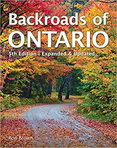
Map Southwestern Ontario
$9.99
In Stock
In stock
Overview
• GPS Compatible Design: Digital format works seamlessly with GPS devices and navigation systems for accurate route planning and real-time location tracking
• Comprehensive Regional Coverage: Spans from Windsor in the south to Tobermory in the north, extending east to Guelph, plus complete Manitoulin Island mapping
• Complete Road Network Detail: Shows all regional roads, highways, and local routes throughout Southwestern Ontario for thorough navigation
• Outdoor Recreation Features: Includes marked locations for bird watching sites, boat launches, campgrounds, golf courses, parks, waterfalls, and sugar bushes
• Points of Interest Included: Displays wineries, tourist attractions, and local landmarks to help plan trips and discover regional destinations
ASK A QUESTION
Report an issue with this productFind it in our store:
You may also like

Details
GPS Compatible Highly detailed map of the complete regional road network for South Western Ontario, coverage from Windsor to Guelph to Tobermory and includes Manatoulin Island. Features include Bird watching, Boat Launches, Campgrounds, Golf Courses, Parks, Points of Interest, Wineries, Waterfalls, Sugar Bushes and more!
Product Information
Additional Details
| Binding |
Paperback |
|---|
Customer Reviews
Add a review
You must be logged in to post a review
Log In
| 5 star | 0% | |
| 4 star | 0% | |
| 3 star | 0% | |
| 2 star | 0% | |
| 1 star | 0% |
0 of 0 reviews
Sorry, no reviews match your current selections
$9.99