
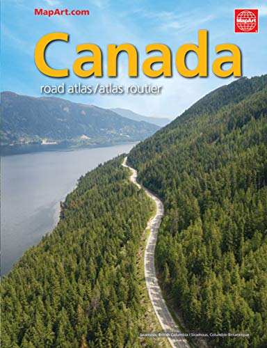
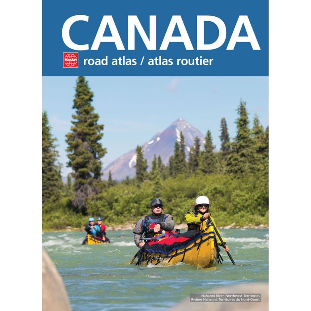
Southern Ontario Backroad Map Book 8.5×11
$34.99
Only 4 left
In stock
Overview
> See more product detailsASK A QUESTION
Report an issue with this productFind it in our store:
You may also like
Details
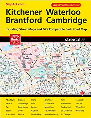
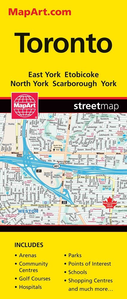
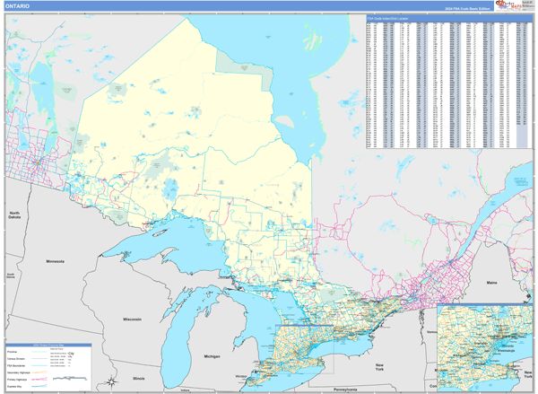
This 196 page backroad mapbook includes 65 maps at 1:150,000, 31 maps at 1:165,000 and 1 map at 1:37,000. Map features include Highways, Logging Roads, Land & Water Features, Parks, Adventure Points of Interest, Campgrounds, Hiking Trails, Motorized Trails, Paddling Routes, Hunting & Fishing Areas, Winter Recreation and more. Barrie, Brampton, Bruce Peninsula, Cambridge, Chatham-Kent, Collingwood, Guelph, Kitchener-Waterloo, Hamilton, London, Niagara Falls, Oakville, Owen Sound, Sarnia, St. Catharines, Tobermory, Toronto, Wasaga Beach, Windsor, & more.
The printed version of the mapbook comes in the convenient 21.5 x 28 cm (8.5 x 11 inch) mapbook format with a heavy-duty spiral-bound cover. The 196-page book includes 65 maps ranging from the highly detailed Point Pelee National Park map to the more traditional 1:150,000 and 1:165,000 scale maps. Complimenting the maps are extensive listings for the 10 Outdoor Adventure sections, local retailers and service providers, Map and Adventure Index, Trip-Planning tools and more. With over 125,000 kilometres of roads to explore, including the most complete logging and industrial road coverage available, the books are ideal for navigating on road trips and planning from home.
Dimensions: 21.5 x 28 cm (8.5 x 11 in)
Product Information
Additional Details
Customer Reviews
Add a review
You must be logged in to post a review
Log In
| 5 star | 0% | |
| 4 star | 0% | |
| 3 star | 0% | |
| 2 star | 0% | |
| 1 star | 0% |
0 of 0 reviews
Sorry, no reviews match your current selections
$34.99